- TIPS
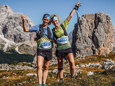
- SUMMER
- WINTER
- HOSPITALITY
- HISTORY AND MUSEUMS
- INFO
- VIDEO
- DELICIOUS APP
©Giacomo Pompanin
- TIPS
- SUMMER
- WINTER
- HOSPITALITY
- HISTORY AND MUSEUMS
- INFO
- VIDEO
- DELICIOUS APP
©Giacomo Pompanin
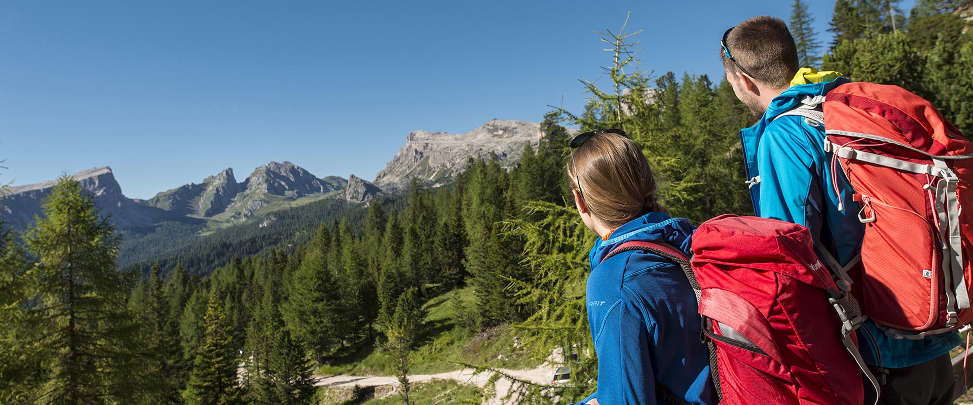
This path is suitable for everyone. From the Dibona Refuge, one of Cortina’s historic mountain huts, it leads to the Lagazuoi Refuge: the mountain hut with the highest panoramic terrace in Cortina d'Ampezzo.
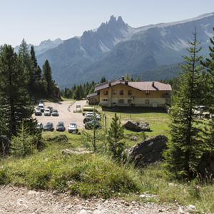
It begins at Dibona Refuge, 2040 metres above sea level, on a military road built by the Italian army during WW1, and along some hairpin bends winds up to the magnificent rock face of the Tofana di Rozes.
Leave this dirt road after less than 1 km and follow the bridle path no. 412 on the left, which is lined with mountain pines and leads slightly downhill to the Cason di Sotecordes. This enchanting place is worth a stop to admire the stunning view of the 5 Torri, Mt. Averau and Mt. Nuvolau. It took about 45 minutes to get here. The path 412 continues leading gently up and down. Towards the end, this path leads over the tree line along steep hairpin bends and meets the military road, which leads to the Col dei Bos saddle at an altitude of 2160 metres.
This road connected the military camp built at the foot of the Falzarego towers with the Italian emplacements of Col di Bos and Castelletto. 50 minutes more of this pleasant hike have passed and 3.1 km from the Dibona hut with 200 meters of positive altitude metres were covered.
With 150 meters of negative altitude and a walking time of 30 minutes, the military road now leads downhill for 1 km.
At the crossroads where the two military roads meet, turn right and continue left on the same trail n° 412.
The hike continues in the midst of firs, larches and stone pines and leads up to an old street keeper's house.
Here the path is covered with roots and stones: here you need to pay attention.
This section of the route is short: 700 meters in 25 minutes.
Then continue left, 300 meters parallel to the Alemagna state road, until you reach a small car park and reach a wide plateau with the confluence of two streams crossed by enchanting bridges.
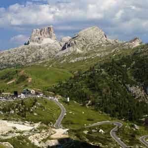
Continue to the right on the path no. 224 and you will reach the Falzarego pass after 1.6 km: the positive difference in altitude of 140 meters can be overcome in about 50 minutes.
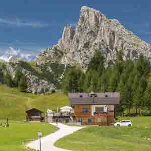
The path runs over the entire plateau (Pian dei Menis) and then winds up to the Col Gallina Refuge.
From here you can admire from east to west the Tofana di Rozes, Col dei Bos, the Falzarego Tower, the Piccolo Lagazuoi, the Sasso di Stria and the Lagazuoi cable car suspended in the blue sky.
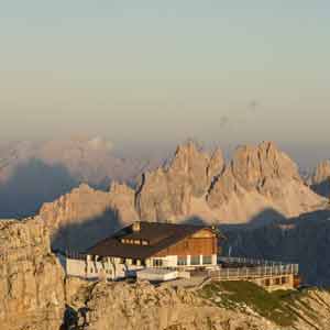
In short time you will reach the Falzarego pass at an altitude of 2109 m and there take the cable car to the Lagazuoi Refuge (2752 m asl).
Return by cable car. At the valley station, take the bus to the road junction to Dibona Refuge or to the parking lot, where you left your car.

The Dibona Hut is located under the majestic rock face of the Tofana di Rozes, 3 km from the Alemagna main road. Therefore, it might be useful to have 2 cars and leave one in the parking lot near the intersection of the state road with the road to the Dibona Refuge, the end of the hike.
If you have only one car and parked it at the Dibona Refuge, it is advisable to get off the bus at Vervei, the road junction to the 5 Torri, and follow the path n° 442 to the Dibona Refuge: distance 1.6 km, an about 1 hour long walk.
Bus schedule information:
Servizi Ampezzo
Via G. Marconi n° 5 (at the bus station) – Cortina d’Ampezzo
Phone: +39 0436 867921
biglietteria@serviziampezzo.it
Recommended equipment
Departure point: Dibona refuge
Arrival point: Lagazuoi refuge
Total duration: 3 ore/hrs./Std.
Path number: Cai 403, Cai 412, Cai 224
Total difference in altitude: 350 m.
Altitude at starting point: 2.040 m.
Altitude at arrival: 2.752 m.
Gear: mountain boots and high mountain clothing
Best time of year: June - October; ckeck the opening times of the lift facilities and mountain refuges