©Giacomo Pompanin
This is a ring route of medium difficulty through the Cortina Delicious area, with its varied panoramic views which change with every change of perspective.
Furthermore, this hike is tantalizing for food lovers: along the way, you can enjoy the dishes of the numerous refuges which organize the running race Delicious Trail Dolomiti, a mountain running race that enhances the gastronomic, naturalistic and historical value of this area.
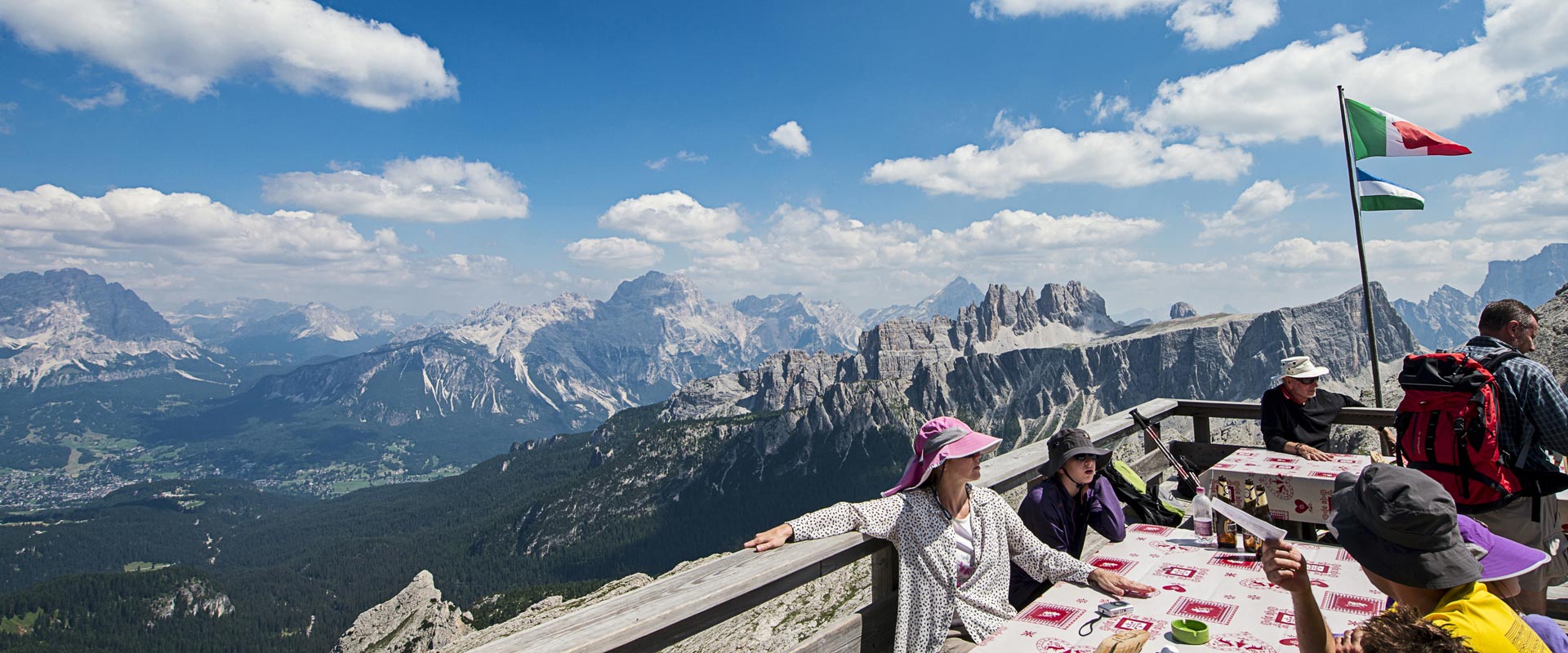
The hike starts in front of the hut Baita Bai de Dones hut at an altitude of 1889 m. In a few minutes the 5 Torri bubble chairlift takes you up to 2245 m, to the Scoiattoli refuge with its panorama terrace that boasts a stunning view of the 5 Torri, a climbers' paradise.
Then follow the signpost CAI 439 of the path which starts on the right at the arrival of the chairlift and leads to the Nuvolau Refuge.
First, the path leads up through green meadows. As soon as you reach the lower limit of the Nuvolau mountain, it continues on rocky paths.
In this second section you can follow many paths: look ahead and choose the path that suits you best.
In 1 hour and 10 minutes, after a 1.8 km long hike with 270 metres of positive difference in altitude, you reach the terrace of the Nuvolao Refuge (2575 m). From there you can admire the most famous peaks of the Dolomites: Marmolada, Pala group, Agner, Civetta, Pelmo, Antelao, Sorapis, Cristallo, Tofane, Lagazuoi.
Below you can see the mountains Monte Pore and Cernera, formed from volcanic sedimentary rock, and the Giau Pass, which is very popular with cycling enthusiasts.
A curiosity: The Nuvolao Refuge, built in 1883 by the German and Austrian Alpine Club, is the oldest refuge in the Dolomites.
Continue on the same path up to the signpost that indicates Averau Refuge at an altitude of 2415 m. Then you hike on path no. 441 to the saddle Forcella Averau at an altitude of 2435 m.
From the Nuvolau Refuge to this point the path is 1.4 km long with a total descent of 120 metres and requires 45 minutes.
Then follow the path CAI 419, which is particularly beautiful as it runs alongside and through gorges and leads to the Limedes lake. The mountains Piccolo Lagazuoi, Croda Negra, Averau and the Tofana di Rozes enframe this snowmelt lake, which is constantly fed by thaw and rainwater.
Starting from the saddle Forcella Averau, this part of the hike - 1.4 km with a total descent of 200 meters - takes 1 hour.
On the opposite bank of the lake, take the hiking trail no. 441 towards the Falzarego pass (altitude 2100 m, distance 6.2 km, time required 3 hours and 15 minutes).
And here, who wants can take the Lagazuoi cable car, pop in at Lagazuoi Refuge and then, with a ten-minute walk, reach the summit cross of the Little Lagazuoi at 2778 meters of altitude.
The view towards Val Badia with the Fanes group, the mountains Conturines, Sas dla Crusc, Peitlerkofel (Sass de Putia), Sas Long and the Sella massif is priceless.
The cable car takes you back to the Falzarego pass, where the hike continues on the trail no.424 to Bai de Dones passing by the Col Gallina refuge.

The degree of difficulty is moderate. The positive difference in altitude is to be faced during the first part of the hike. The route can be shortened thanks to various exit points. The path can also be walked in the opposite direction. Since it is a rather long hike, my recommendation is to check the daily weather forecasts.
Recommended equipment
The description of this crag was kindly provided by the mountain guides „Gruppo Guide Alpine Cortina“.
info@guidecortina.com - www.guidecortina.com
+39 0436 868505
Corso Italia 69/a – “Ciasa de ra Regoles”
32043 Cortina d’Ampezzo (BL) – Italy
Always check the operating dates of the lift facilities.
Departure point: Baita Bai De Dones
Arrival point: Baita Bai De Dones
Total duration: 4 ore/Hours/Stunden
Path number: Cai 439, Cai 441, Cai 419, Cai 424
Altitude at starting point: 1889 m.
Altitude at arrival: 1889 m.
Best time of year: June - October; ckeck the opening of the lift facilities
GPX File: Download GPX